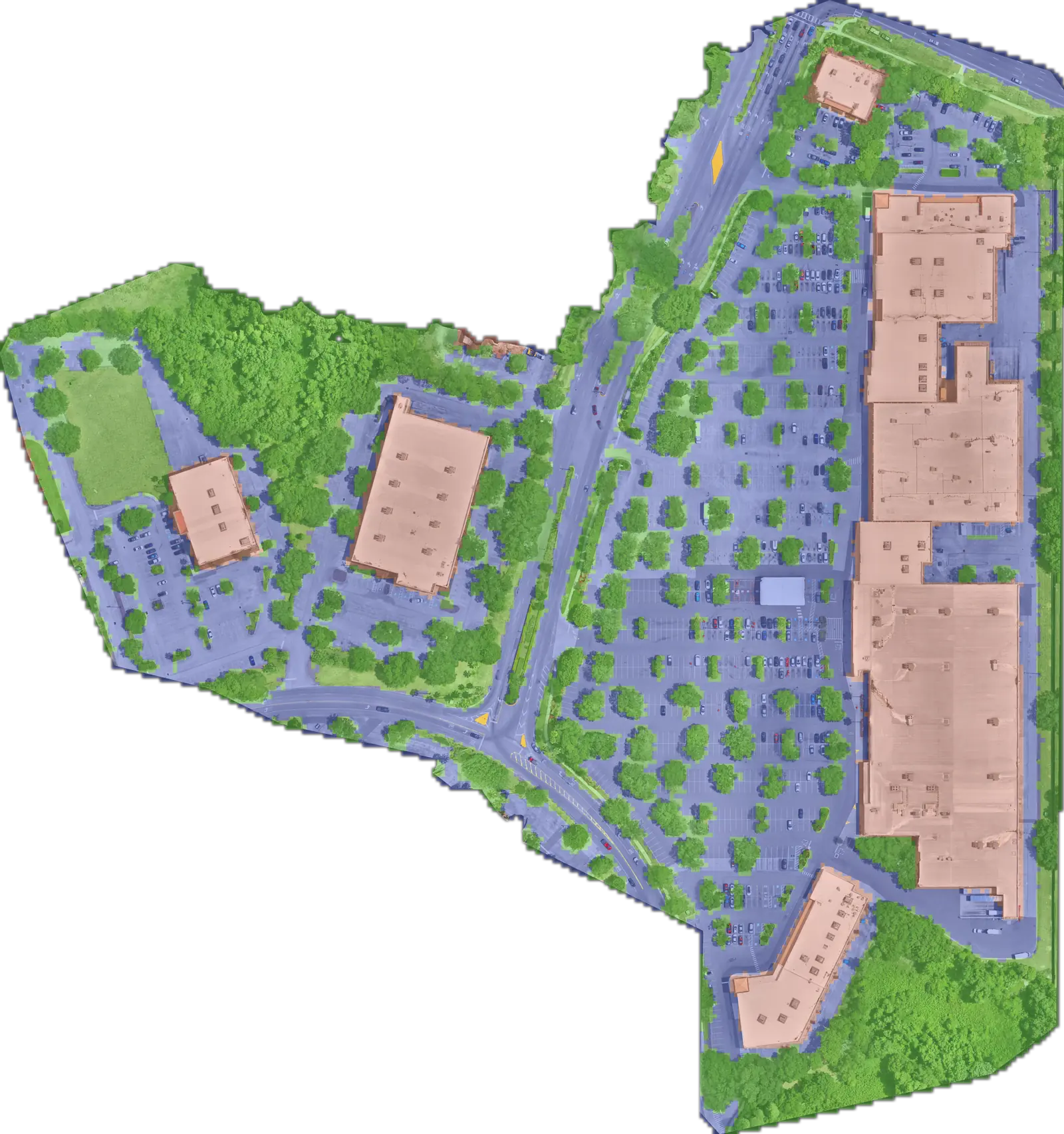
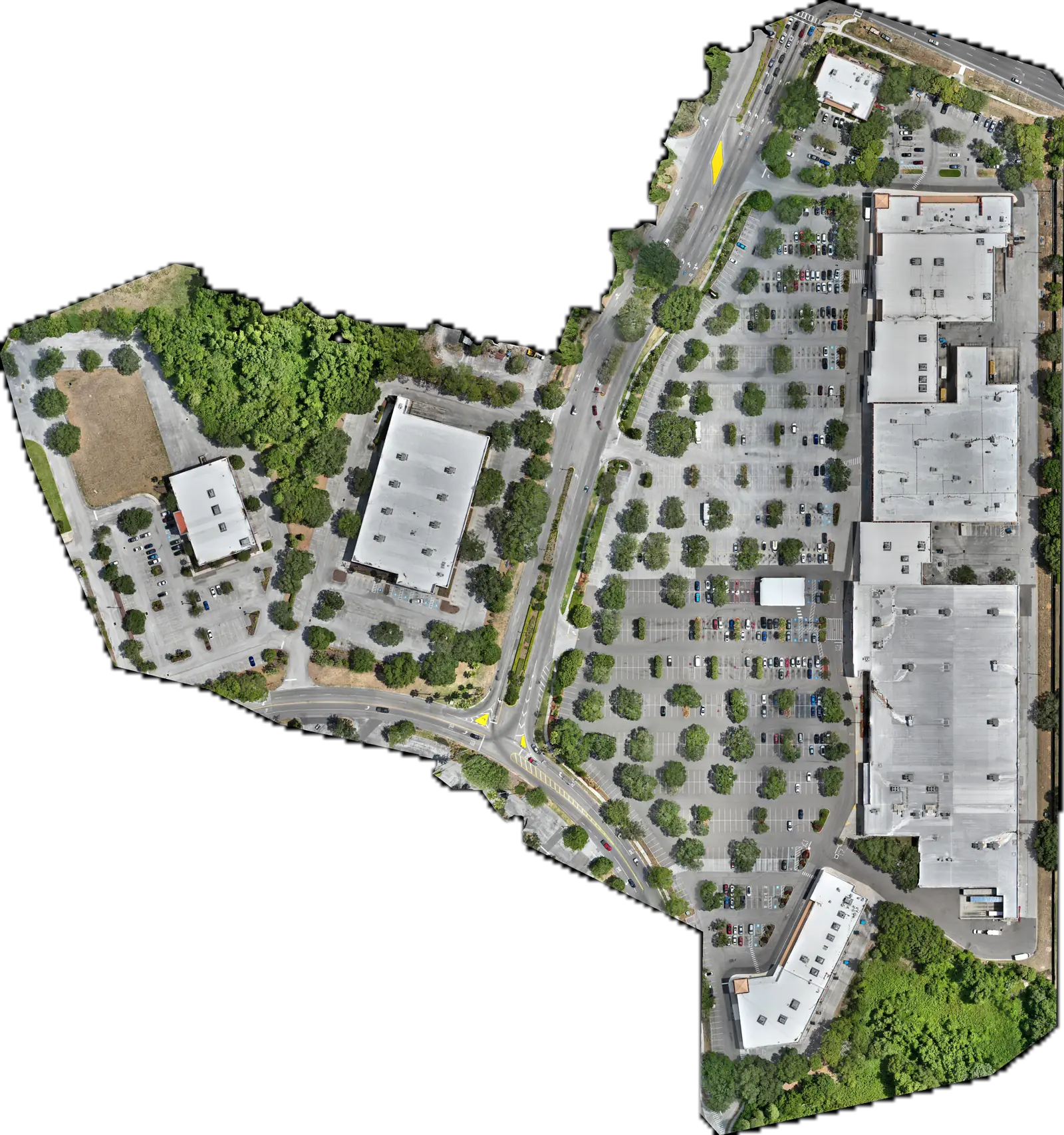
Our own capture · 0.8 cm per pixel
Know the condition of every surface you own.
Pavement, roofs and grounds, measured from the air to under a centimeter and kept up to date.
- Pavement
- 732 000sq ft
- Roof
- 363 400sq ft
- Vegetation
- 699 800sq ft
This site, measured. Scroll to see each surface.
A site plan describes what existed once.
Your decisions depend on what's there now.
Surfaces wear out
Pavement cracks, roofs leak and drains clog between inspections.
Sites are spread out
No one can walk every property every year.
The same decisions return
Budgets, bids, renewals and claims all need current evidence.
History is proof
Dated captures show when damage appeared and whether the repair was done.
Capture regularly, and scattered inspections become one record you can act on.
From imagery to a decision
Four steps from a flight to a repair list.
Our own capture. The surfaces and cracking are real; the priority colors in step 4 are illustrative.
Capture
Drone, dock or satellite, or imagery you already have.
Understand
Find and measure every surface.
Diagnose
Spot cracking, wear and change.
Value
Rank what to fix first, by cost and risk.
What you get
- Measurements (GeoJSON)
- Annotated imagery
- Condition scores
- Repair priorities
- Evidence for work orders
The flagship
Ground Truth keeps an up-to-date record of every exterior surface.
Measured, scored surfaces you can compare from one flight to the next.
Baseline
Map every surface and its area.
For acquisitions, insurance and vendor bids.
Condition
Score pavement, roofs and landscaping.
For capital plans and preventive maintenance.
Change
Compare one flight with the next.
To verify work, catch wear early and support claims.
Diligence
Package a standard record of the property.
For sales, leasing and portfolio reporting.

The same site up close: stall lines, a storm drain and the cracking around it, at under a centimeter per pixel.
- Whole property
- 74.2Good
- Pavement
- 57.0Fair
- Roofing
- 94.6Excellent
- Landscaping
- 83.1Good
Condition index, 0 to 100.
Built for commercial property. Farmland and homes are in development.
Now
Commercial property
Measure surfaces, score condition and plan maintenance across a portfolio.
Farmland
Would map emergence, drainage and crop stress across whole fields, every season.
In development
Private real estate
Would flag roof, drainage and storm damage for inspections and sales.
In development
Tell us what you own and what you need to know.
Owners, contractors, dock hosts and teams with imagery: we read every message.